
Trace a Cortlandt Street by Address
Begin a Cortlandt street search with the physical address and a jurisdiction check. Cortlandt includes the villages of Buchanan and Croton-on-Hudson, the communities of Crugers, Montrose, Van Cortlandtville, and Verplanck, plus selected streets associated with Mohegan Lake and Crompond. A postal place name alone does not decide which government holds the record. The Town FAQ and map tools help establish whether the parcel belongs in the Town, a village, the City of Peekskill, or another nearby municipality.
For a current Cortlandt address, the useful record trail moves from a map to a parcel card, then to a deed reference. The owner on a tax card can identify a legal interest, but it does not establish current occupancy. A voter check is also limited: New York's public form is for verifying a named registration using the form's required details, not for producing a street-wide list. Historical directories and newspapers can add dated context after the parcel trail is clear.
- Confirm the address, postal place, and municipal jurisdiction with the Town FAQ, the Town GIS, or the Assessor.
- Locate the Cortlandt parcel and record its section, block, and lot number, the local parcel identifier, when available.
- Review the current CAI Property Card for the tax-owner, mailing, transfer, and assessment categories the Town documents.
- Search the owner or grantee name in Westchester Records Online and narrow the result by municipality, date, and legal description.
- Use a named voter verification or dated directory source only after the address and record purpose fit the question.
Note: Keep a search log with the street number, municipality, parcel identifier, date range, and source because each Cortlandt record answers a different question.
Check Cortlandt Street Jurisdiction First
Cortlandt's Hudson-side geography makes the first check essential. The Town wraps around the City of Peekskill and borders Putnam County, Yorktown, New Castle, Ossining, and the Hudson River. A continuous-looking Cortlandt road may cross a village line, a city line, or a postal boundary. Records for a parcel inside Buchanan or Croton-on-Hudson can have a village route in addition to a Town or county route, while a Peekskill parcel belongs with the city instead of the Town.
The Town says its GIS and Westchester County GIS tools do not have identical coverage. Use the Town map page to locate a parcel, then cross-check town and county layers when the boundary matters. The Town directs ownership questions to the Assessor, zoning questions outside the villages to Technical Services or Code Enforcement, and GIS questions to the Town GIS map page. This division of work prevents a ZIP label or a road name from being mistaken for legal jurisdiction.
- Parcel
- A defined piece of land used in assessment and map systems. One street address can relate to one or more parcels.
- Situs address
- The physical location of the parcel. It is different from a tax mailing address.
- Plat or map
- A recorded or reference map that places lots, roads, and boundaries. A legal description may point to it instead of a modern street number.
- Criss-cross directory
- A reverse directory arrangement that starts with a street and address, then sends the reader to the alphabetical name listing.
Cortlandt Street Directory Parcel Cards
The Town's Property Data Search points to the current CAI Property Card for modern property research. Town documentation identifies current owner information, sales and transfers, mailing addresses, assessment data, and increasingly digitized sketches as the relevant card categories. The exact live search labels, required fields, and result layout were not available during research. Treat the following as verified search concepts and card categories, not a transcription of an unobserved screen.
| Verified CAI concept | How it helps a Cortlandt address search | Research limit |
|---|---|---|
| Property address | Starts a current parcel-card review. | Exact label and required status were not captured. |
| Owner information | Connects a tax-owner name to later deed research. | It does not prove occupancy. |
| Parcel or section-block-lot | Links an address to assessment, map, and request records. | Use the Assessor if a number is missing. |
| Sales, transfers, and mailing data | Provides current-card context before a WRO search. | Field order and completeness vary. |
The older Image Mate/SDG portal is shown below because it illustrates the historic-property-roll route still associated with Cortlandt.
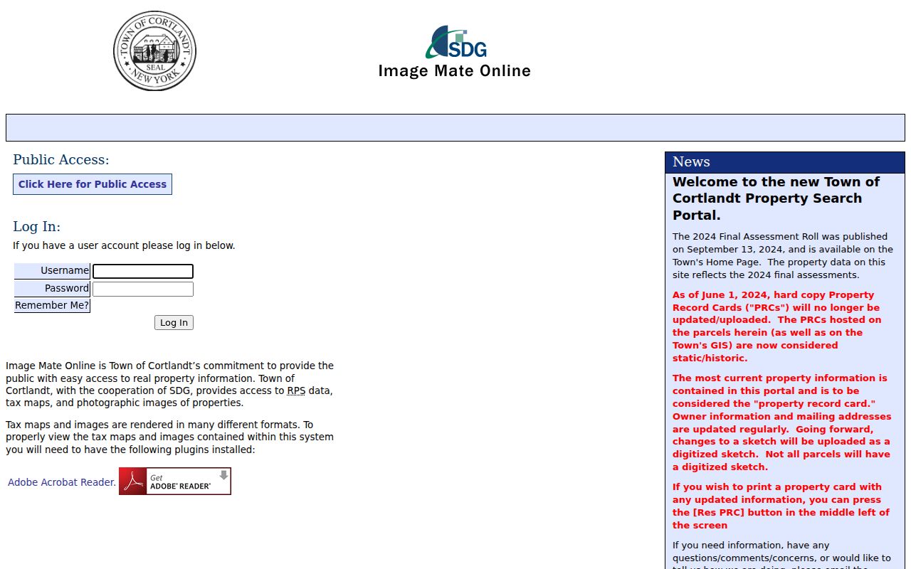
That older portal is not the Town's current data source. The visible public landing screen included account controls and a 2024 final-roll reference, while the Town advises that current owner, transfer, and mailing details belong on the CAI Property Card.
Map Each Cortlandt Street Parcel
For street-by-street work, GIS is the adjacency tool. Find the target parcel, note road frontage and nearby parcel boundaries, then open each parcel separately through the appropriate assessor or property-card path. Cortlandt GIS can help identify municipal limits, roads, shoreline context, and neighboring parcels. It cannot establish title or current residence by itself. The County GIS adds county layers, including election-district context, but the Town cautions that village information may be limited and the town and county viewers differ.
Cortlandt's GIS Maps page links the Town WebGIS and the county viewer.
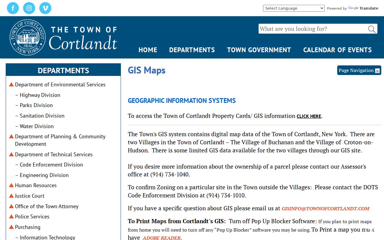
The Town directs map users to disable popup blockers and use Adobe Reader for prints. When the same address appears differently in a county layer, preserve both observations and ask the Assessor, at 914-734-1040, which parcel record is current.
Note: Compare Town and county map layers before assigning a Cortlandt road to one custodian, especially near village or city boundaries.
Cortlandt Street Directory Record Layers
A useful Cortlandt street directory crosswalk keeps record types separate. The assessor card is keyed to a parcel and tax ownership. GIS is keyed to map geometry. The County Clerk's deed index follows grantors, who transfer a recorded interest, and grantees, who receive it. Voter verification is keyed to a named registrant and required form details. These layers can support a careful address history, yet none is a complete street census.
| Address record | Custodian or portal | What it can show | Access path |
|---|---|---|---|
| Current property card and roll | Town Assessor / CAI | Tax owner, mailing category, transfer and assessment context | Property portal or Assessor phone |
| Parcel geometry | Town WebGIS and county GIS | Parcel placement, roads, adjacent parcels, boundary context | Online map tools |
| Recorded conveyance | Westchester Records Online | Grantor, grantee, recording reference, legal-description trail | Free index, account and paid remote images |
| Permit or certificate record | Code Enforcement / Town FOIL | Existing site, permit, or certificate record if disclosable | Targeted request by address and date range |
| Named registration check | New York voter lookup / County BOE | Registration or polling match under form criteria | Official verification and county fallback |
Use the parcel or section-block-lot number as the stable bridge. Keep the situs and mailing columns separate. A mailing destination may belong to a representative, lender, post-office box, or another address, so it should never be rewritten as a resident's location.
Follow Cortlandt Deeds by Address
After a Cortlandt parcel is identified, Westchester Records Online is the county index route for the recorded chain. WRO describes its coverage as eighteenth-century deeds through current records and judgments entered the previous week. Its public index is free. Images and reports need registration and paid remote access, and the county cautions that an online image or index entry is not automatically a certified copy, an official copy issued by the County Clerk.
Start with the current grantee or owner name, municipality, approximate transfer date, and any document reference from the card. Then search backward: a current grantee becomes a prior grantor. A deed's legal description, the written land description in the deed, can carry a lot, map reference, former owner, or road detail when a modern number is missing. For an official copy or an older record, the County Clerk's Land Records Division, the County Archives reading room, state archival guidance, and mail research after an index citation are documented fallbacks.
The County Clerk asks in-person researchers to bring a precise party name, approximate recording year, municipality, address, and any book, page, or document number. Call 914-995-3080 before travel to verify counter hours and copy charges. For a street that has become a one-person question, a separate Cortlandt resident lookup can help choose the record type that matches the name and time period.
Note: A deed tracks a recorded legal interest, while an assessment card, voter form, and historical directory each carry different dates and purposes.
Cortlandt's 2024 Property Card Shift
One practical Cortlandt street directory detail changed on June 1, 2024. The Town reports that hard-copy property record cards stopped being updated or uploaded to GIS. Those GIS PRCs are static or historic material. The current CAI Property Card is the route for current owner information, transfers, and mailing addresses. A historic PRC can still be useful for a dated comparison, but it should not be treated as a current parcel statement.
This split explains why a street result may look older in a GIS-linked card than in the current property portal. Record the source and date of every view. If an address search fails, the Assessor can supply section and block information by phone, which gives the searcher a stronger identifier for the current card, WRO, and a records request.
Request Cortlandt Street Permit Records
Permits and certificates can date construction, demolition, additions, or occupancy milestones along a Cortlandt street. They are not a confirmed public case-search system. The Town's OpenGov portal was verified as an application and complaint submission route, but research did not establish a public search screen. For a known address, ask Code Enforcement for an existing record with the permit type, date range, and permit or certificate number when available.
The official building-permit packet shows why those details help: it uses site fields for section, block, lot, street address, project description, and map information, along with applicant and owner contacts. Code Enforcement is at Town Hall Office #4, 1 Heady Street, and lists 914-734-1010. The Town says complaints go through OpenGov rather than email. A targeted Town FOIL request can seek an existing disclosable record, but FOIL does not require the Town to create a new street report.
Read Cortlandt Streets on 1868 Maps
Older Cortlandt street research often needs a map before a name search. The 1868 Beers atlas depicts the Town of Cortlandt, Cortlandtville, and Croton Landing with roads, landowners, buildings, and business material. It can help place a legal description or former road reference that does not resemble a modern street number. The atlas is a historical location tool, not evidence of present ownership or residence.
County Clerk historical maps add another layer. The county's digital collection includes property maps from 1793 through 1928 within a much larger map filing history. When an early deed names a map, lot, or former owner instead of an address, compare the map with the legal description before deciding that it concerns another Cortlandt parcel. Historical directory shelves and newspapers can then supply dated household context without replacing the recorded chain.
Note: A mapped landowner or road name is dated evidence that should be paired with the relevant deed, directory, or census record.
Limits of a Cortlandt Street Directory
No Cortlandt street directory can prove every person living on a road. The CAI card records assessment ownership and a mailing category. WRO records a conveyance. GIS places a parcel. The New York voter lookup verifies a named registration only when the required county, name, date of birth, ZIP, and address details fit. Historical directories are publisher-selected and date-specific. A result from one layer should be described only for what that record actually establishes.
Some records have protected fields or restricted access. New York's Address Confidentiality Program safeguards participants' actual addresses through a substitute mailing address, and confidential voter procedures protect eligible registrants. If an online route fails, use the identified custodian rather than making a broad request or assuming a blank result has a particular meaning.